September 10, 2026.
Build-your-own approach puts hunters in control of what shows up on the map.
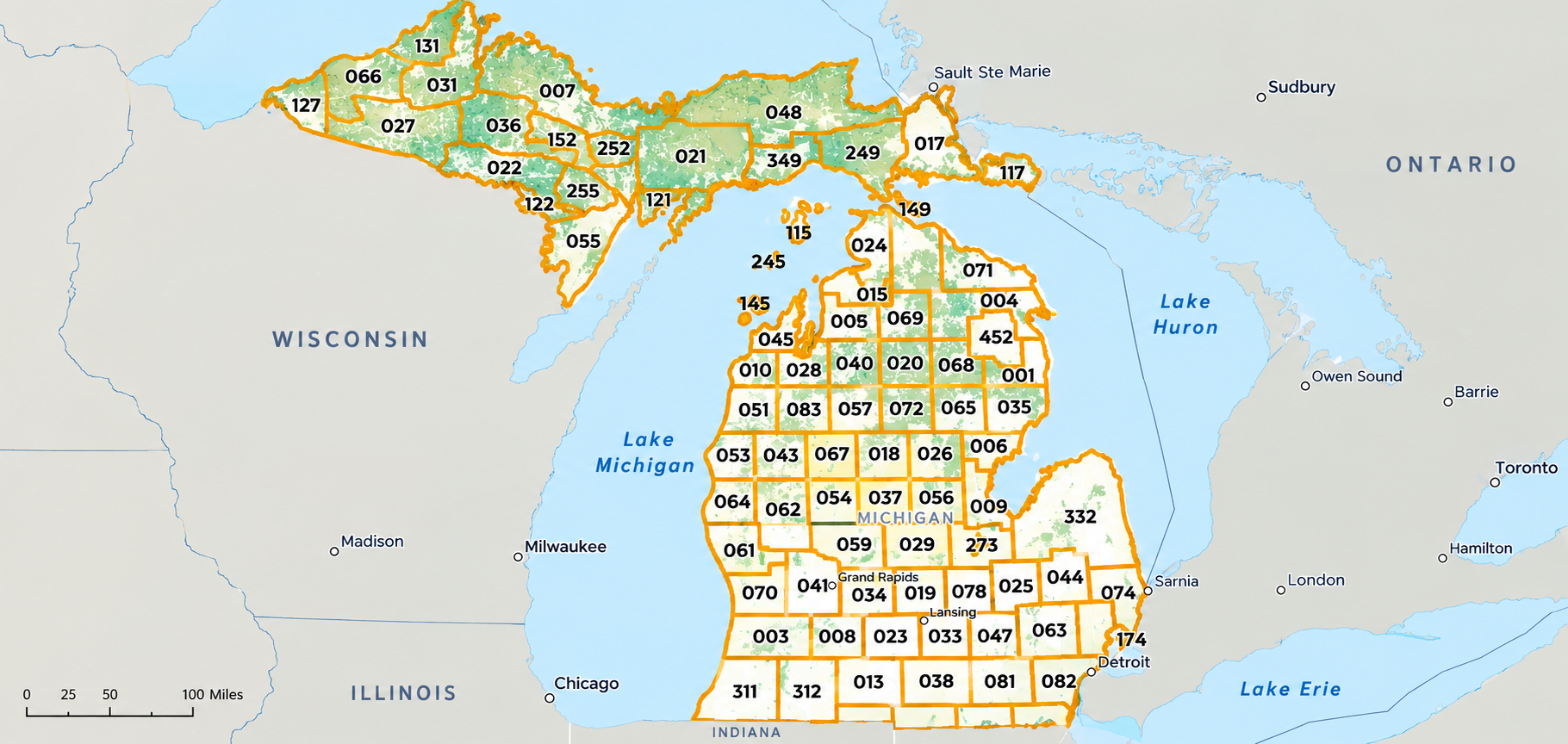
Michigan hunters planning a fall trip have a rebuilt tool to work with. The Michigan Department of Natural Resources has launched a new version of MiHunt, the state's interactive map of lands open to public hunting, available at Michigan.gov/MiHunt.
The map is live just in time for the fall hunting seasons.
"We wanted hunters to build their own adventure rather than be handed a finished one," said Sarah Mayhew, a data specialist for the DNR Wildlife Division. "The map opens with lands open to public hunting and nothing else. Everything beyond that is up to you."
This approach does more than clean up the mapping process. Because hunters turn on each layer themselves, they know exactly what they are looking at and why it is there. Nothing appears on the map that the hunter did not ask for.
Some layers hunters can switch on include:
- Species management unit boundaries.
- Cover type layers showing forest makeup.
- Land management agencies.
- Special hunting areas, including Hunting Access Program properties, Turkey Tracts and Grouse Enhanced Management Sites.
Hunters can also bring their own information to the map. MiHunt now accepts imported spatial data, so a hunter can add a property boundary, a set of waypoints or last season's tracks and view it alongside DNR-provided layers. Imported data is visible only to the person who adds it.
The MiHunt rebuild was a cooperative effort between the DNR's Wildlife and Forest Resources divisions. Both have long contributed data to the map, and staff from each division worked together on the redesign.
"We're hoping hunters notice how much easier the new MiHunt is to use this fall," said Holly Toohey, a resource analyst with the DNR Forest Resources Division. "Working across divisions helped us find and fix the problems that staff and hunters had been telling us about."
The DNR also built the new version in-house, rather than contracting the work out as it did with earlier versions of the tool.
"Bringing the development of MiHunt in-house will allow us to be more responsive if issues arise or when adding new features in the future," Mayhew said.
MiHunt is not a downloadable app. It runs in a web browser on a computer, tablet or phone, with no download or account required. Hunters looking to buy licenses, check regulations or report a harvest from a mobile device can use the Michigan DNR Hunt Fish app.
MiHunt contains a complex map with many layers. Hunters who would like help reading or interpreting it can call 517-284-9453 or email DNR-Wildlife@Michigan.gov.
Explore the new map at Michigan.gov/MiHunt.